Walked up Sheep Creek trail to about 700ft elevation and hit snow, then walked in shoes to end of trail at about mile 3. From there we booted up through the trees to treeline, then skinned a long up an left to the Hawthorne Peak ridgeline. Booted to the summit, then backed off from skiing from the top due to wind loaded, steep terrain with ice underlying the windloaded pockets. Ended up skiing way down into the couloir to the base of the mountain, then it got too steep and icy, and we booted about 1000+ ft back up and skied out the way we came in. This peak currently needs more snow or warmer temps to ski it safely, it's just too icy.
 |
| Traversing to Hathorne with Sheep Mtn in the background |
 |
| You could ski up over Poleline, then descend to that creek and go out to Taku Inlet. |
 |
| Steep skiable couloir on Mt Roberts with the Chilkats in the background. |
 |
| Michaels Sword is the spire, then Devils Paw massif to right. |
 |
| Summit of Hawthorne back there. |
 |
| Mt Roberts is peak above water, then left to right it's Sheep Mtn, then Poleline ridge. |
 |
| Devils Paw |
 |
| Dylan over Stephens Passage |
 |
| Endless mountains, zero people. |
 |
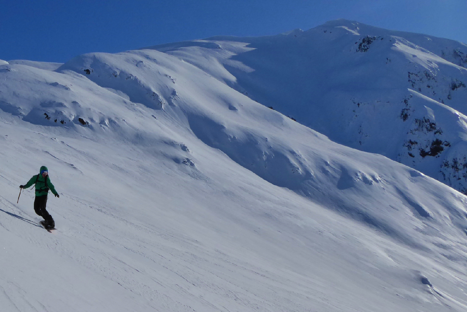
| Little steep section before the summit. |
 |
| Taku Inlet background on right |
 |
| Some great south facing couloirs above Stephens Passage |
 |
| Summit block of Hawthorne |
 |
| Split Thumb |
 |
| Taku Towers? |
 |
| Devils Paw couloir |
 |
| Lunch on the summit |
 |
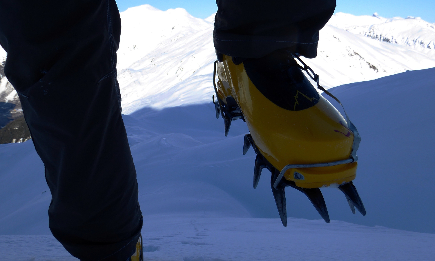
| Pondering the ice |
 |
| This "snow" is so loud it almost makes you deaf |
 |
| Big couloir off the summit in the shade, couldn't ski it today, too icy. |